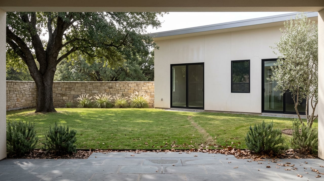
Walk the dirt track behind the back fences of Alessandro Heights on any weekday morning and you'll pass dog walkers, a few joggers, maybe someone on a mountain bike picking their way around a rut. Nobody calls it anything in particular. It's just the path, the ditch, the canal thing. That vagueness is the tell. Most trails in Riverside have a sign, a trailhead kiosk, a name on a parks department map. This one doesn't, because it was never built to be a trail. It was built to move water, and well over a century later, it still does.
The dirt corridor that runs along the edge of Alessandro Heights is the Gage Canal, and understanding what it actually is changes how the walk reads. It's not neglected parkland waiting for a budget line. It's active infrastructure with a recreational use layered on top, and that ordering explains almost everything odd about it: the missing signage, the sudden rule change partway through, and why the city has approved a formal trail project for a different two-mile stretch of the same canal while this one stays exactly as informal as it's always been.
Built on a Three-Year Deadline
The canal dates to 1885, when a Canadian jeweler named Matthew Gage secured a claim to 640 acres on the condition that he deliver water to the site within three years. He met the deadline by engineering an 11.91-mile canal pulling water from the Santa Ana River, then later extended it another 8.22 miles to reach what's now California Citrus State Historic Park. The project roughly doubled citrus production in the area at the time. Today Riverside Public Utilities still runs it as a working piece of the city's water system, not a museum piece. That's the detail most people walking past their own fence line don't know: the water moving quietly a few feet from their yard is doing the same job it did in the 1880s.
The Rule That Changes at Mile One and a Half
Anyone who's walked or ridden the full stretch has hit the same surprise. About a mile and a half in, the trail rules shift without explanation. Bikes are fine on the first section, then suddenly they're not. The city has never posted a sign explaining why, and neither of the trail-review sites that document the route offer a reason. It's simply the rule, and locals learn it by trial and error the first time they try to ride straight through.
Here's how the canal corridor actually breaks down right now, based on its current, unfunded state versus the stretch the city just committed real money to:
| Segment | Current Status (2026) | Surface | Bikes Allowed |
|---|---|---|---|
| Alessandro Heights to the 1.5-mile mark | Informal, city-owned easement, no funded upgrade | Dirt and decomposed granite | Yes |
| Past the 1.5-mile mark toward Washington St. | Same informal path | Dirt | No, walkers only |
| Palmyrita Ave. to Blaine St., near UC Riverside | Just-awarded $4.3M construction contract | Paved asphalt bike path with parallel decomposed granite pedestrian path | Yes, on separated paths |
The first two rows are what Alessandro Heights residents actually walk. The third row is what the city just agreed to build, and it isn't here.
The Money Just Landed Two Miles North
In July, the Raincross Gazette reported that the Riverside City Council approved a $4.3 million construction contract with Rancho Cucamonga-based H L Hitchcock Construction Inc. to build the first formal phase of a Gage Canal recreational trail. The scope covers a two-mile stretch from Palmyrita Avenue southwest along the edge of Box Springs Mountain Reserve, crossing Spruce Street and ending at Blaine Street near the UC Riverside campus. Plans call for a paved bicycle path, a parallel decomposed granite path for walkers and runners, landscaping with roughly 700 trees and 300 plants, solar lighting, about fifteen benches, five drinking fountains, and interpretive signage, according to the city's environmental filing.
This has been coming since 2019, when the council first applied for a $3.7 million Urban Greening grant. Bids came in over budget in 2023 and the council rejected all of them, sending staff back to rebid after securing an additional $1.4 million Recreational Trails Program grant. Additional environmental studies followed, and the state grant agreement didn't arrive until April 2026, months before the contract award. The city hasn't announced a construction start date or detailed a second phase, and staff haven't said whether the Alessandro Heights stretch is even on a future list.
The contract does not change conditions on the Alessandro Heights stretch, and no second phase has been detailed. Two of the canal's roughly twenty total miles are getting the full treatment. The other eighteen, including the stretch through Alessandro Heights, remain a working easement that residents use as a footpath.
Where the Dirt Actually Leads
If you keep walking south past the 1.5-mile marker, the character of the trail changes along with the rules. Backyards give way to sparser lots, and it's not unusual to spot cows or horses grazing this close to the city. The trail crosses Washington Street at an uncontrolled intersection with real traffic, which is worth knowing before you bring kids or a dog that pulls on the leash. Anyone uneasy about that crossing can detour about a quarter mile south to a signaled crossing at Overlook Parkway instead, the same street that serves as Alessandro Heights' main entrance off the hill.
Push through and the path eventually opens onto the orange groves of California Citrus State Historic Park, the same destination Gage's canal extension was built to reach a century and a half ago. Cyclists who ride the full route, commonly logged from the Arlington Avenue trailhead to the park and back, cover close to 9.8 miles round trip, an easy, mostly flat ride with only two small ravines, one near Maude Street and one between Jefferson and Saint Lawrence, where the canal siphons water from one side to the other. One practical note from longtime trail users: stick to the north side of the canal where possible, since the south side has seen some illegal dumping over the years.
What Comes After the Walk
Most people finish the loop and head straight for food, and Alessandro Heights sits close enough to Mission Grove Marketplace to make that easy. The 70-plus acre open-air center at Alessandro Boulevard and Trautwein Road has anchored the area since 1991, and two spots consistently show up on current local roundups: The Rustik Fork for a sit-down lunch, and Gra Pow if you're in the mood for Thai. Both are a short drive from the Overlook Parkway entrance into the neighborhood.
For a different kind of after-walk routine, Canyon Crest Country Club sits nearby with an 18-hole course designed by Olin Dutra back in 1968, six lighted hard courts, four pickleball courts, and a clubhouse terrace looking out over the lake. The club runs as semi-private now, open to the public for tee times, which makes it an easy add-on for anyone who wants nine holes or a set of tennis after a morning on the canal.
None of this makes the Gage Canal a park. It makes it something more interesting: a piece of nineteenth-century engineering that Riverside still relies on and residents use as a trail, with a formal trail project approved for a different segment. Whether that investment ever reaches the Alessandro Heights stretch is an open question. For now, the water keeps moving, and so does everyone walking beside it.
If you're curious how details like this shape day-to-day life and long-term value in Alessandro Heights, or you just want a local's read on what's changing around the neighborhood, reach out to 1903 Realty for a conversation grounded in the same kind of specifics you just read.
This article is general information, not legal, tax or financial advice. Consult a qualified professional about your situation.